Little Liberia Maps
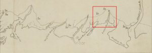
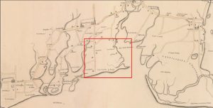
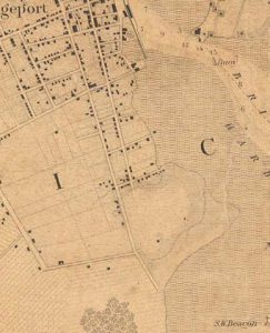
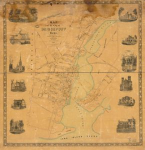
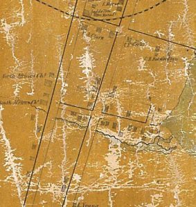
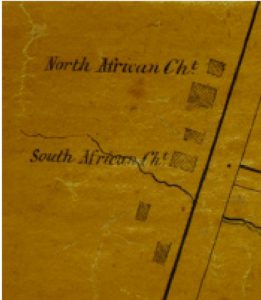
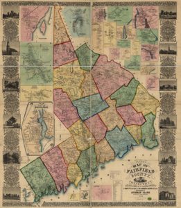
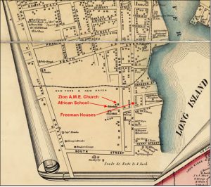
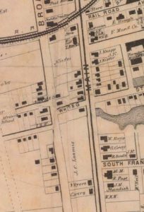
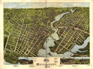
The maps in this gallery indicate how human beings changed local geography over time, adding structures and land where Little Liberia came to be. Over time, water features were removed. Bridgeport Harbor, once within a few hundred feet of Little Liberia’s Freeman Houses, is now more than a quarter mile to the east due to landfill operations that accompanied industrialization and the dissipation of Little Liberia.
Little Liberia, settled in the South End of Bridgeport on the Long Island Sound, an important estuary, once looked much like this.
(John Wright, Freeman Collection)
(John Wright, Freeman Collection)

Now the landscape looks like this.
(Google Earth)
(Google Earth)

